

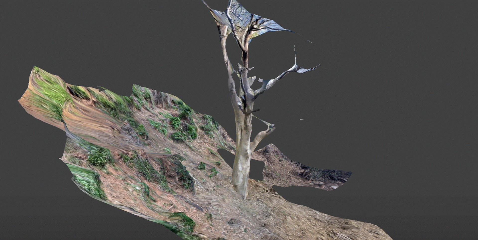
As part of the SIT-PLU (Situated Creative Practices for the Pluriverse) project, funded by the Creative Europe programme, researcher Helena Giménez, with the support of the NEBULA Laboratory researchers, developed Choreocartography during February, March and April 2026. The activity combined walking, situated observation and three-dimensional digital scanning to create a moving audiovisual cartography, exploring alternative ways of representing the landscape as a living, changing and relational ecosystem.
The initiative was based on a situated approach to the territory surrounding the university, understood not only as a physical space but also as an ecosystem of relationships, memories, uses and tensions between the natural environment and the institutional context. Through a series of walks, fragments of the territory (paths, edges, slopes, vegetation, traces of human presence and geological formations) were explored, paying attention to their textures, forms and distinctive features.
Walking thus became a tool for sensory and bodily research, capable of activating alternative ways of perceiving and interpreting the environment. As part of the process, the selected fragments were digitally captured in three dimensions using the Scaniverse application. The scans were carried out by Helena Giménez and resulted in a collection of digital records documenting the topography and textures of the landscape from an experiential and situated perspective.
Subsequently, Mar Saiz and Anna Pujadas processed these materials and transformed them into an audiovisual piece in which the different scans are brought together as a moving cartography. Rather than seeking an objective or strictly scientific representation of the territory, the piece proposes a choreographic and speculative reading of the landscape, in which forms, volumes and textures interact to construct an open-ended interpretation of the place.
Choreocartography brings artistic practices, digital technologies and situated ecologies into dialogue to explore alternative ways of representing and inhabiting the territory. Cartography ceases to be a fixed tool for defining boundaries and becomes a dynamic and performative process, capable of revealing invisible narratives, latent movements and alternative forms of knowledge connected to the direct experience of place.